Brief Summary
For over three decades, Landproject Inc. has been developing third-party toolkits for Autodesk Civil Engineering designers. Today, these toolkits are fully integrated with the latest AutoCAD Civil 3D versions and are still popular among CAD designers for their ability to improve productivity and streamline workflows for grading design, pipe design, earthworks, and other common tasks. Landproject Toolkits, which are now part of the Builterra.com Platform (AEC Solutions Inc.), continue to provide valuable shortcuts and tools for Civil 3D power users.
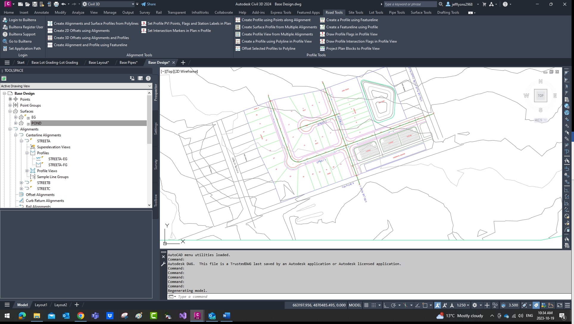
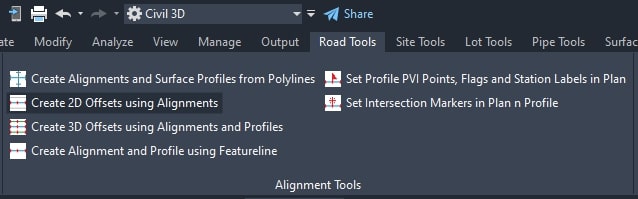
Road Tools

Alignment Tools

Create 2D or 3D offset polylines from alignments and profiles.

Create static Design profile PVI Points and vertical Curve Points and “Flags” in plan view along road centerlines.

Create multiple alignments and an associated surface profile using 2D Polylines. Mainly used for residential street and laneway alignment creation, curb and gutter alignment targets and existing underground utility modelling.
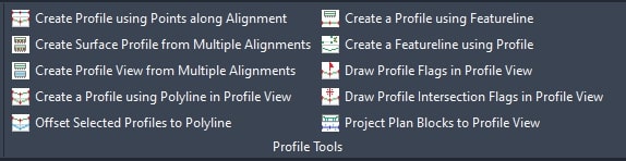
Profile Tools

Create Design profile PVIs from Points along the road centerline alignments. Used to build starting design profiles from point grading in plan view.
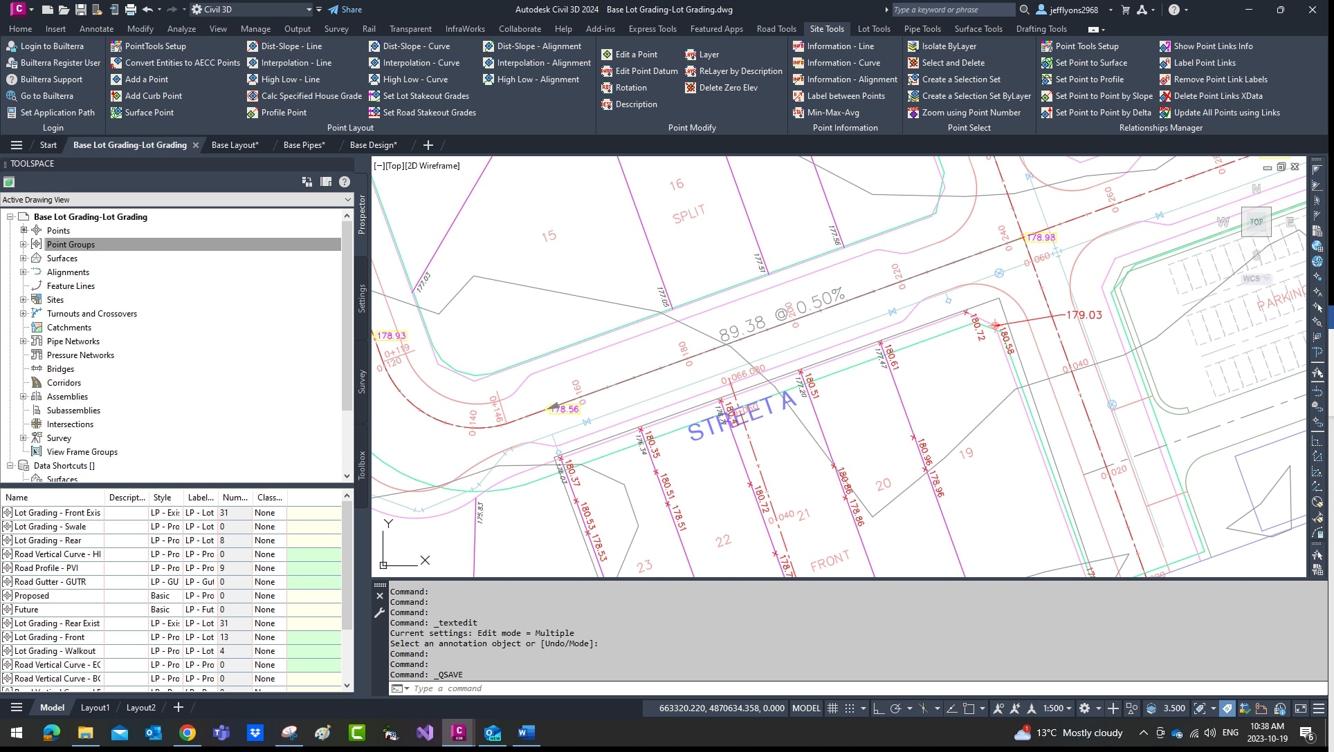
Site Tools

Set Road Profile Points on centerline or offset using road elevation.

This toolkit has been re-activated to quickly “link” grading design points to surfaces, profiles and other points. Modifiers to control slope, elevation delta have been included to handle most any link between the design point and the source object.


- Over 30 productivity Layout tools for point layout grading using AECC Cogo Points
- Point Conversion from Text, Blocks, Points
- Legacy Drafting Tools for Point Labels

This tool has been part of the 20+ year solutions which provide quick methods of converting “2D” AutoCAD Points to Civil 3D Cogo Points.

Another legacy tool to label between 2 selected points for quick drafting.
Lot Tools


Based on basic lot type geometry and reference objects, lot lines are samples and points are laid out as per the “design”. Site Tools can be used to further edit and update lot points based on relationship links.

The Results: Existing surface points and design points along lot lines.

Same concept as lot line design points but creates Featurelines as the design object. Includes tools to update Featurelines based on changes to profile or surface and generate Featureline cogo points.

Complete Plot Plan toolkit to set lot grading plot plan blocks and supporting points.
Based on basic lot type geometry and reference objects, lot lines are samples and points are laid out as per the “design”. Site Tools can be used to further edit and update lot points based on relationship links.
The Results: Existing surface points and design points along lot lines.
Same concept as lot line design points but creates Featurelines as the design object. Includes tools to update Featurelines based on changes to profile or surface and generate Featureline cogo points.
Complete Plot Plan toolkit to set lot grading plot plan blocks and supporting points.
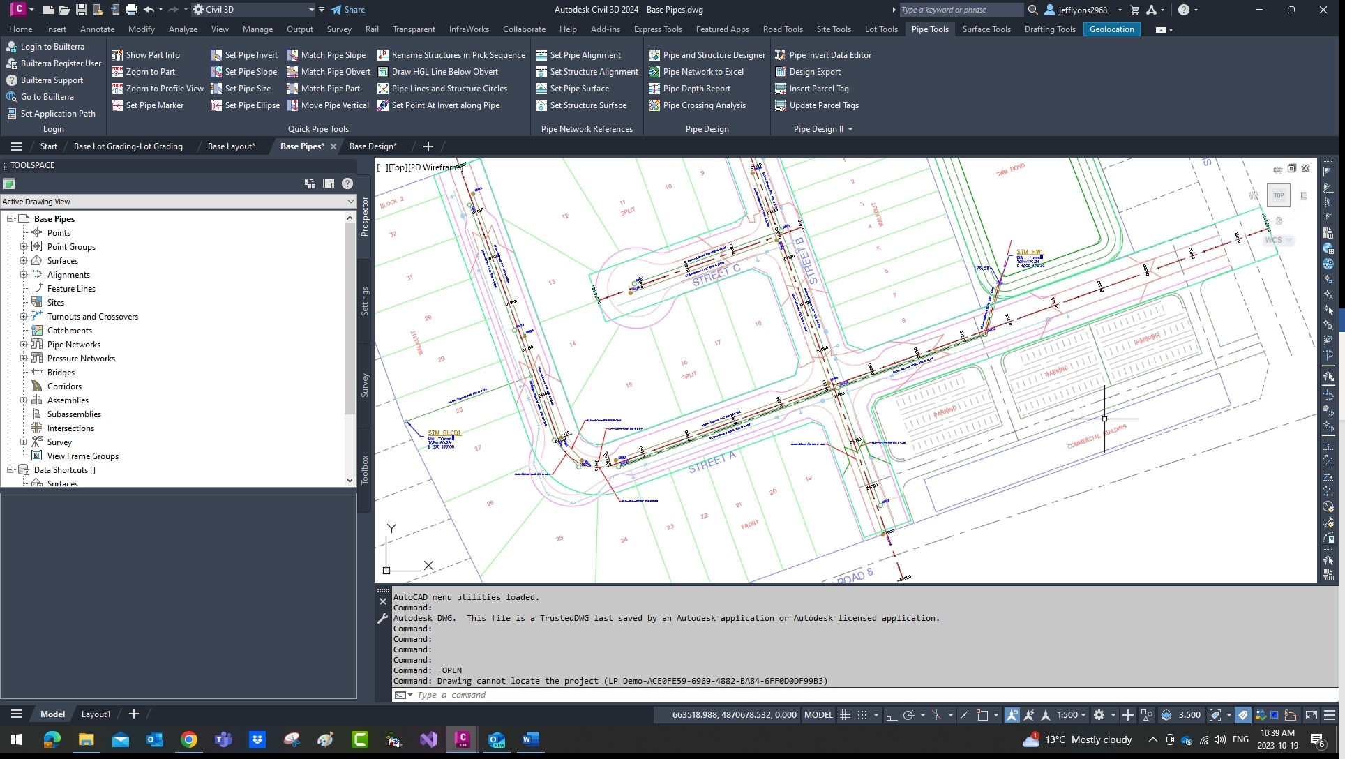
Pipe Tools


- Over 15 tools which can be used in plan view or profile view to edit pipe inverts
- swap part by size or match selections
- set inverts, match obverts, set and match slopes
- set invert points along any pipe
- draft laterals from incoming pipes into profile view

- Create Pipe Runs
- Edit Inverts based on flow direction
- Swap Parts
- Pipe Invert Editor

- Link to Drainage Areas and Tags to Pipes for Design Sheet Building
- Easy to use Pipe Network data import and export interface to Excel based design sheets
- Update to Pipe Network for most properties including Inverts, Part Size and HGL
- Update to Drainage Area Tags using updates in design sheets
Pipe Interference:

-Compare Pipe Network parts and generate labels, data and points at crossings.
Pipe Depth:

-Complete incremental pipe depth report with excel export.
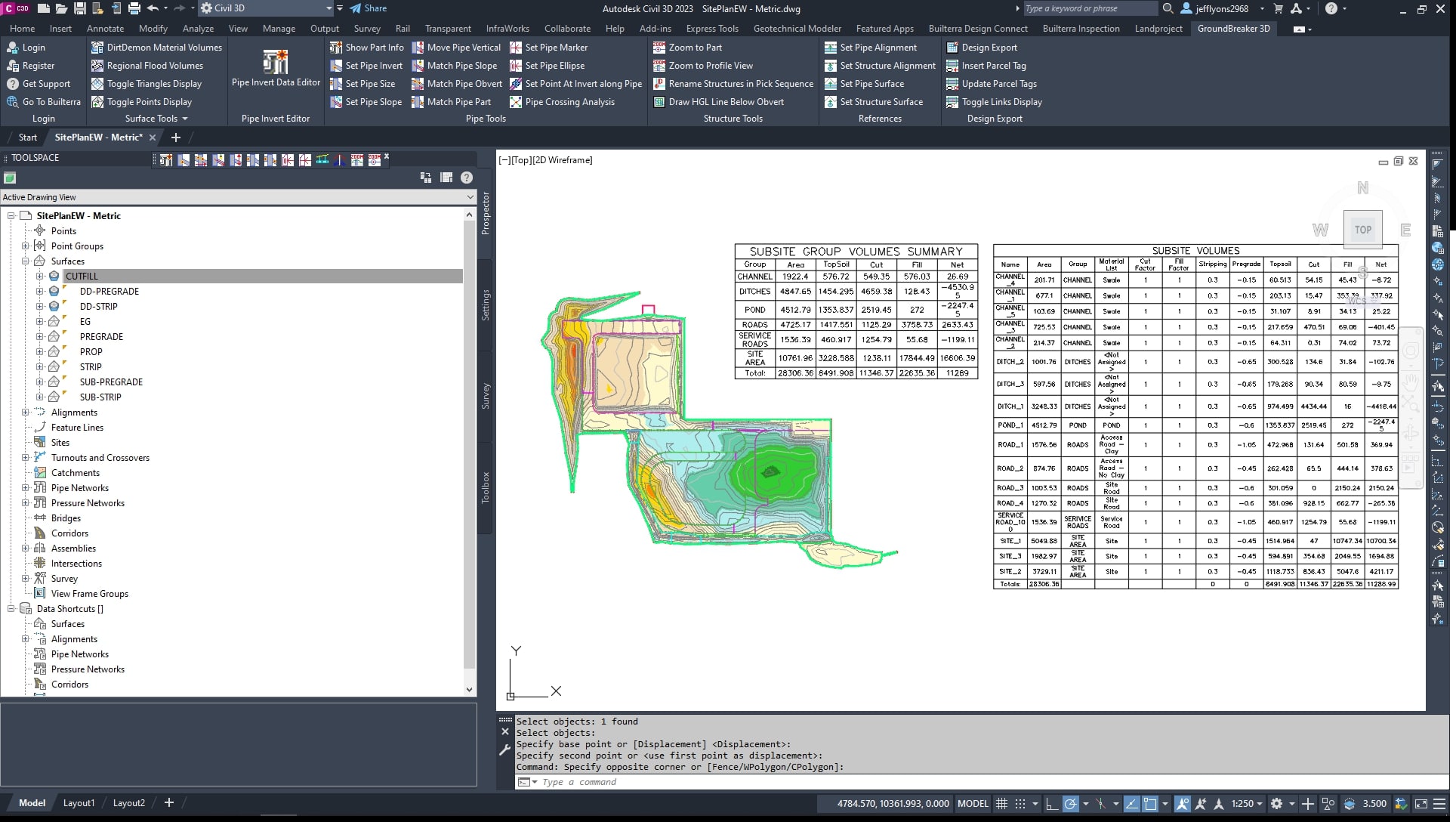
Surface Tools

Subsite Manager:

-Define closed polygons as subsites, apply stripping and pregrade depths.
Cut Fill Volumes:

-Process subsites using Existing and Proposed Surfaces

-Resulting Surfaces, Table and Spreadsheets

-Collect raw data between 3 surfaces – Existing, Design and Floodplain

-Process Cut-Fill Deleta at incremental depths.

-Calculate stage storge using contours - 2D Polylines with elevation or Civil 3D contours.
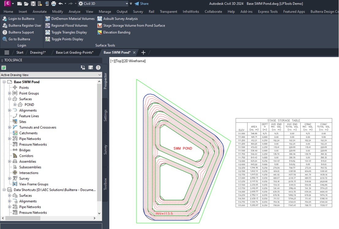
-Resulting Volume Table for Stage Storage Calculation.
Drafting Tools

- Quick methods to convert Civil 3D objects to AutoCAD Objects - Labels and Linework
- Batch modify Object Styles and Descriptions
- Manage 3D Polyline elevations from Points
- Perform Quantity Takeoffs from polylines
- Many 2D polyline shortcuts for Drafting - Slope Lines, Block Rotations
- Lisp commands and shortcuts which have been included in the toolkit for 2 decades
- Drawing Clean for Purge, Audit and Layer States cleanup
- Quick access to out of box commands that streamline drafting
- Map Clean for Polylines